

Quick answer
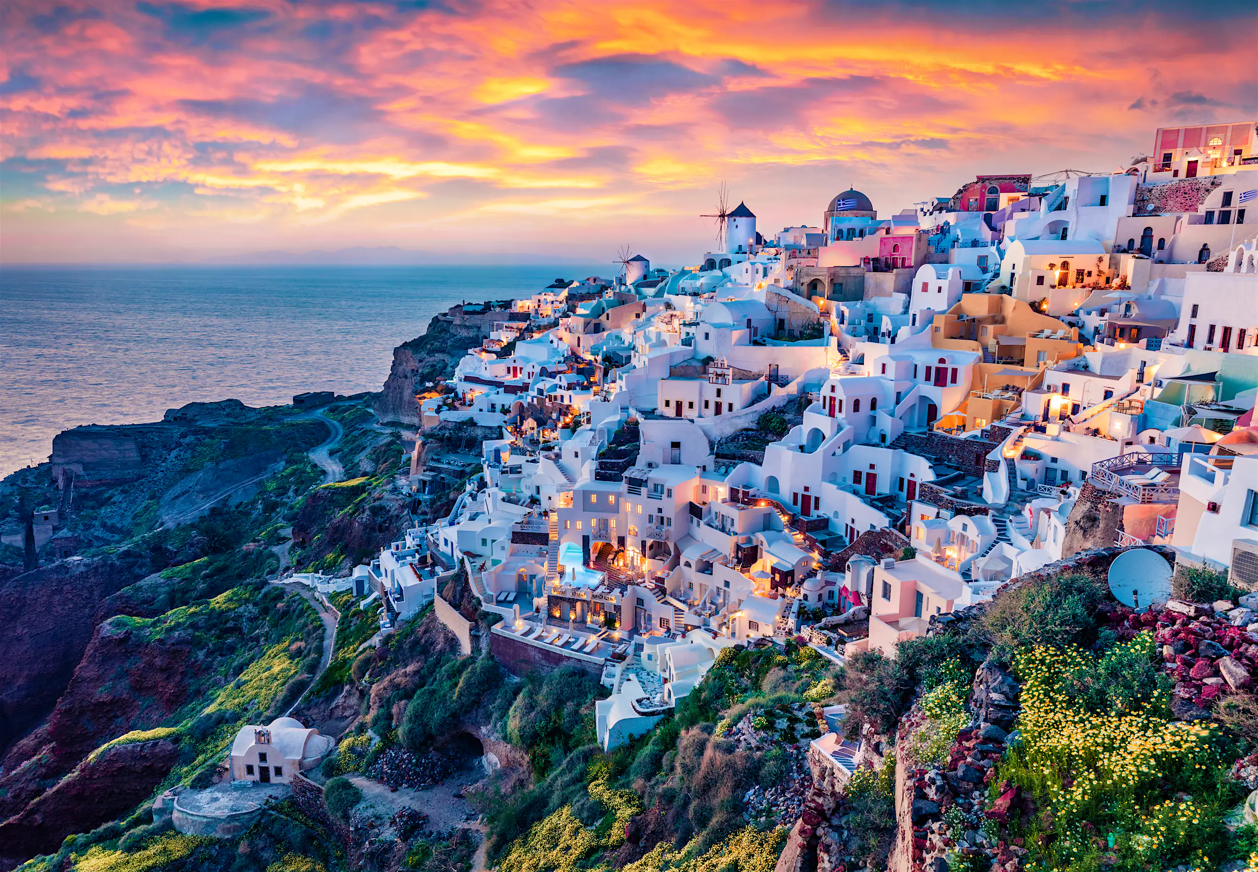
What is the caldera in Santorini? It is a flooded volcanic crater approximately 12 kilometers long and 7 kilometers wide, created by the catastrophic Minoan eruption around 1600 BCE. The caldera's rim rises up to 300 meters above sea level, forming the clifftop settlements of Fira, Oia, and Imerovigli, while its floor lies 400 meters below the Aegean surface. The crater remains open to the sea on its western edge, and two small volcanic islands—Nea Kameni and Palea Kameni—emerged from subsequent eruptions within the basin.
The caldera is not a natural harbor or a bay carved by erosion—it is the collapsed roof of a magma chamber that once fueled a towering stratovolcano. When that chamber emptied during the Minoan eruption, the mountain's summit fell inward, creating a basin that the sea rushed to fill. The event buried the Bronze Age settlement of Akrotiri under meters of pumice and likely contributed to the decline of Minoan civilization on Crete. Understanding what is the caldera in Santorini requires recognizing its scale. The submerged crater floor spans roughly 83 square kilometers, and its encircling cliffs expose layers of volcanic ash, lava flows, and tephra deposits spanning millennia. The black and red strata visible from the rim trace the island's volcanic history, with the youngest eruptions dating to 1950 on Nea Kameni. The caldera remains an active volcanic system, monitored by seismographs and offering occasional fumarole venting on the crater islands. The rim itself is free to access year-round, with villages perched along the clifftop providing unobstructed views across the water to the volcanic islets and the open Aegean beyond. Walking the caldera edge from Fira to Oia covers approximately 10 kilometers and takes three to four hours, passing through Firostefani and Imerovigli. Boat excursions into the caldera basin depart from the old ports of Fira and Oia, offering closer access to Nea Kameni's hiking trails and Palea Kameni's thermal springs. Photographers favor early morning light, when the sun rises behind the eastern cliffs and casts the western villages in soft glow. Sunset reverses the effect, illuminating the caldera's inner walls in amber and rose tones. The submerged crater is deepest near the center, where soundings reach 400 meters, and its steep inner slopes create the vertical drama that defines Santorini's silhouette. The geological explanation for this crescent-shaped island lies beneath the water, where the collapsed chamber continues to shape the landscape above.
“The caldera is not a natural harbor—it is the collapsed roof of a magma chamber that once fueled a towering stratovolcano.”
When To Visit And View What Is The Caldera In Santorini
The best arrival window for experiencing the Santorini Caldera is 07:00–10:00. Arriving during these hours ensures optimal light for photography and cooler temperatures before the midday heat and peak crowds.
April to May
Moderate; fewer cruise shipsMild, 18°C–23°C. Ideal for outdoor observation.
Shoulder season offers balanced conditions and lower temperatures.
September to October
Moderate; pleasant atmosphereWarm, 20°C–26°C. Sea remains comfortably heated.
Late season provides stable weather with fewer crowds than mid-summer.
Weekday mornings
Minimal; quiet walking paths—
Visiting between 07:00 and 10:00 avoids the dense daily cruise arrivals and midday intensity.
Verdict: The optimal time to visit is Tuesday to Thursday, arriving between 07:00–10:00 during the months of April or October.
Entrance Fees For What Is The Caldera In Santorini
Access to the Santorini caldera rim is entirely free of charge for all visitors. Financial costs only apply if you choose to participate in specific guided boat tours or organized volcano hiking excursions.
The entry fee to view the caldera is 0 EUR, though specific hiking or boat tours require separate payment.
Directions To What Is The Caldera In Santorini
The Santorini caldera rim stretches along the western cliffs of the island, encompassing the villages of Fira, Imerovigli, and Oia. Most visitors reach these viewpoints via the main road network or local public transport.
KTEL bus to Fira Central Station
Main road network to Fira, Imerovigli, or Oia
Walking paths connecting Fira to Oia
Arrival at Athinios Port followed by road transport
Best Vantage Points To Photograph What Is The Caldera In Santorini
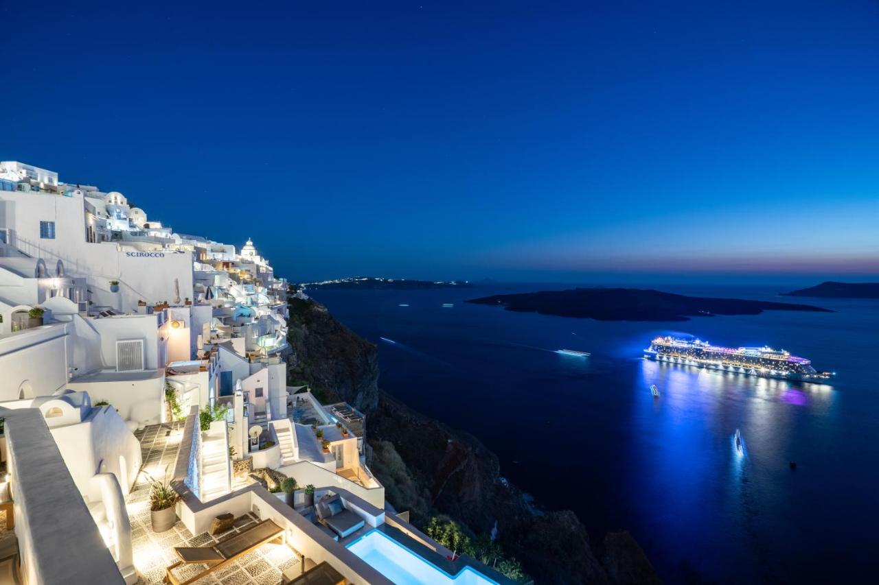
Fira Caldera Viewpoint
Positioned along the main cliffside path in Fira, this spot offers a direct view of the caldera basin and the central islands.
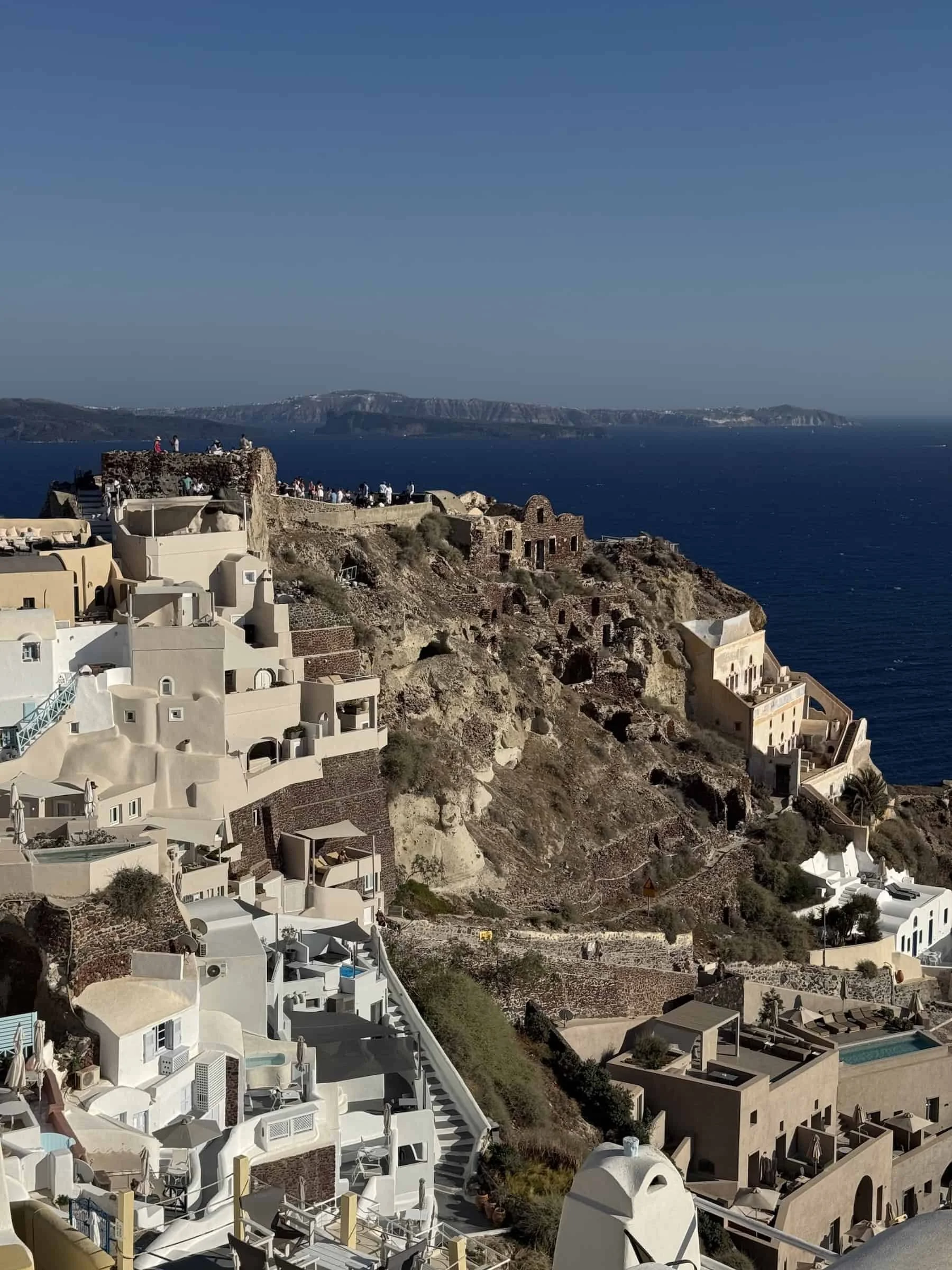
Oia Castle Ruins
Located at the northern tip of Oia, this area provides an expansive vista of the caldera curve and the village architecture.
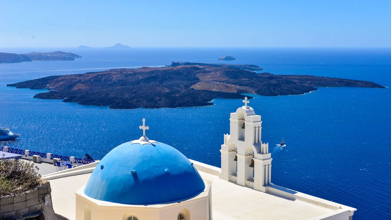
Three Bells of Fira
This location features the iconic blue-domed church with the caldera in the background, accessed from the cliff path.
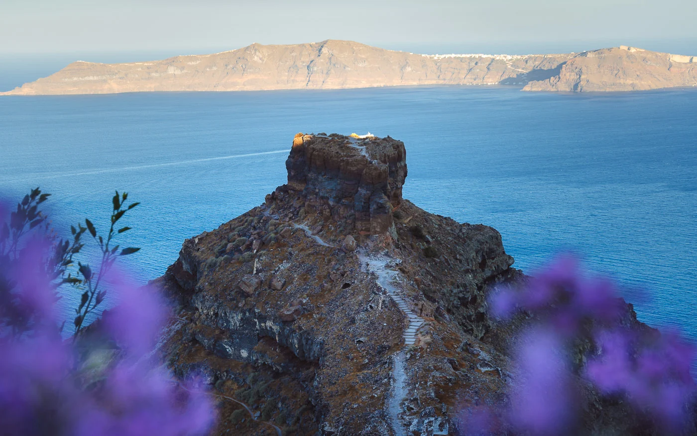
Skaros Rock
Accessible via a hiking trail from Imerovigli, this promontory offers a vantage point looking back toward the caldera rim.
Opening Hours For What Is The Caldera In Santorini
The Santorini caldera rim areas are public spaces accessible to visitors at all times throughout the year.
| Monday | 00:00–23:59 | |
|---|---|---|
| Tuesday | 00:00–23:59 | |
| Wednesday | 00:00–23:59 | |
| Thursday | 00:00–23:59 | |
| Friday | 00:00–23:59 | |
| Saturday | 00:00–23:59 | |
| Sunday | 00:00–23:59 |
Check availability
Common Questions About the Santorini Caldera
Everything you need to know about what is the caldera in santorini